Getting around the Santa Ynez Valley is straightforward in outline and subtle in practice. Route 246 links Buellton, Solvang and Santa Ynez. Los Olivos and Ballard sit north of that line on smaller roads. Los Alamos occupies its own pocket northwest of Buellton. The distances are modest, but stops, traffic and the pleasure of the landscape stretch time.
A western and central loop
From Buellton, a traveler can move east to Solvang, continue toward Santa Ynez, turn north for Los Olivos and return by the roads around Ballard. On paper, it looks like a compact circuit. In a real day, each town adds walking, meals and decisions. Treat the loop as a framework, not a mandate to stop everywhere.
Los Alamos is best considered a separate western chapter. Pair it with arrival or departure on US-101, or devote a portion of a day to its main street and the open country around it. Folding it into every central-valley stop creates unnecessary backtracking.
Driving the rural roads
Two-lane roads invite looking around, but the driver must keep attention on the lane. Shoulders are inconsistent, agricultural vehicles use the same routes and wildlife becomes more active near dawn and dusk. Stop only in safe, legal places; a beautiful view is not permission to block a gate or pull onto dry grass.
Fuel the car before a countryside loop and download the route while service is reliable. If rain, smoke or high wind enters the forecast, simplify. State Route 154 is a mountain road, and the return to Santa Barbara can require more concentration than its mileage suggests.
Walking once you arrive
Los Olivos and central Solvang reward parking once. Los Alamos also has a compact main-street shape. In Santa Ynez and Buellton, destinations may be more spread out, so identify a sensible public parking area before beginning a walk.
Wear shoes for uneven sidewalks, gravel shoulders and long standing. Even a town-centered day can quietly accumulate miles. A lightweight layer helps when evening cools after a warm afternoon.
Cycling is its own itinerary
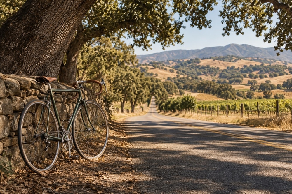
The road network creates appealing bicycle loops, but a cycling route should not be treated as a casual substitute for driving. Assess elevation, traffic speed, shoulder width, wind and the fitness of the least experienced rider. Carry water, repair supplies, lighting and a plan for turning back.
If the ride is the centerpiece, let it be the centerpiece. Begin early, eat afterward and avoid building a tasting itinerary into the saddle day. The long outdoor days guide covers pacing and recovery; the orientation page explains the three main approach roads.