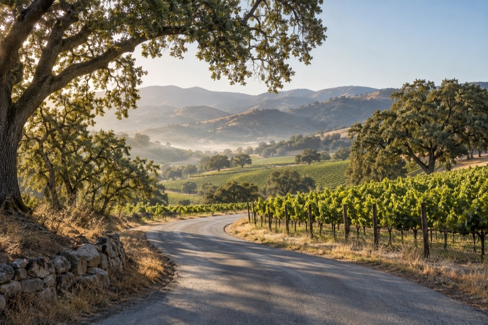
The Santa Ynez Valley sits on the inland side of the Santa Ynez Mountains, close to the coast in miles but distinctly separated from it by ridges and passes. Santa Barbara lies roughly 35 miles away, Los Angeles about 125 miles to the southeast, and San Francisco roughly 300 miles to the north. Those figures are useful for orientation, but mountain roads and traffic make time more meaningful than mileage.
The three-road skeleton
US-101 traces the valley's western edge and passes Buellton. It is the direct north-south route for most travelers arriving from Los Angeles, Santa Barbara, San Luis Obispo or points farther north. State Route 246 turns east from US-101 at Buellton, continues through Solvang and Santa Ynez, and acts as the valley's main east-west spine.
State Route 154 crosses the mountains from the Santa Barbara side, passes Lake Cachuma and reaches the valley near Santa Ynez. It is scenic and winding, with changing elevations and conditions. Drivers should give it full attention rather than treating it as an automatic shortcut. In bad weather, smoke or darkness, the broader US-101 approach may feel more comfortable.
How the communities lie
Buellton anchors the west. Solvang sits just east along Route 246; Santa Ynez lies farther along the same corridor. Los Olivos is north of the highway, with Ballard on the quieter roads between Los Olivos and Solvang. Los Alamos is northwest of Buellton, separated from the central cluster by open country and its own US-101 access.
This arrangement makes loops tempting, but rural roads are not urban connectors. Some are narrow, shoulders can disappear, and the most beautiful routes are also working roads. Build margins into the day, avoid abrupt stops for photographs, and use established turnouts only where stopping is legal and safe.
Arriving without a private car
Amtrak's connecting bus network has served Solvang as part of its California connections. Schedules and stops change, so confirm the complete rail-and-bus itinerary directly before travel. A current Amtrak service announcement describes Thruway connections extending through Santa Barbara and Solvang; treat that as confirmation of the connection, not a substitute for a live timetable.
Santa Ynez Airport, identified by the code IZA, serves private aircraft. It is not a replacement for a commercial airport, and ground transportation still needs to be arranged independently. Travelers flying commercially generally approach by road after arriving elsewhere in the region.
Transit source: Amtrak's current network information confirms a Thruway connection serving Solvang. Check the provider for a live itinerary before departure. Read the Amtrak service note.
Build a humane driving day
A route can be geographically efficient and still feel exhausting. Group walking stops before moving the car again. Put a long outdoor activity early, then choose one nearby town for lunch and an easy afternoon. If wine tasting is part of the day, establish a sober driver or arranged transportation before the first glass.
At sunset, glare and wildlife can complicate rural driving. Save unfamiliar back roads for daylight and know where the next fuel or rest stop fits before leaving the highway corridor. For a closer look at local loops, continue to Getting around once you are here; for a full-day structure, use Planning a visit.